The information about the village water supply I found interesting to do, so I thought I would photograph the way the watermill at the village mill gets it’s water as a follow up. Simple watercourses like our little river (the Fender) had mills all the way down it, each farmstead would grind their own corn using the force of rivers & burns to power them. It has been established that on maps as far back as 1590 yes 1590, this particular lade going to the mill was shown on them, so thou of course it has been rebuilt many times over those years, the original route has been in existence all this time.

So Fender joins the River Tilt, which is the lovely spate river you see above, just above the road bridge part of the river is diverted into the lade.
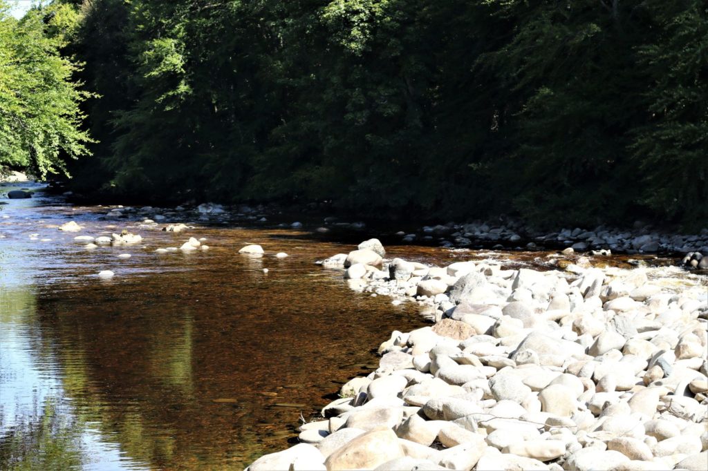
The stones on the right are what is used to divert the flow & as this is a spate river that can flow very fast during torrential long rain storms or snow melt from the hills, these stones move, allowing greater flow on the river. So these stones need constant attention to build that barrier up. This is not an easy task, for one, Rami at The Mill has to get permission from the Environment Agency to do it. Then he has to hire a digger to go into the water and build the barrier up again. When the water is as low as in the pictures in this article it is impossible to get enough energy into the flow to actually turn the water wheel. If the water runs through the lade to fast it could rotate the wheel to quickly & damage it. So Rami has to control the flow by using the first sluice in the shot below.
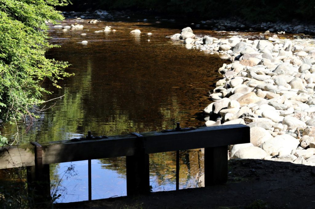
This is a simple gate valve sluice, but getting the flow correct, is far harder, but over the years the master baker has mastered it.
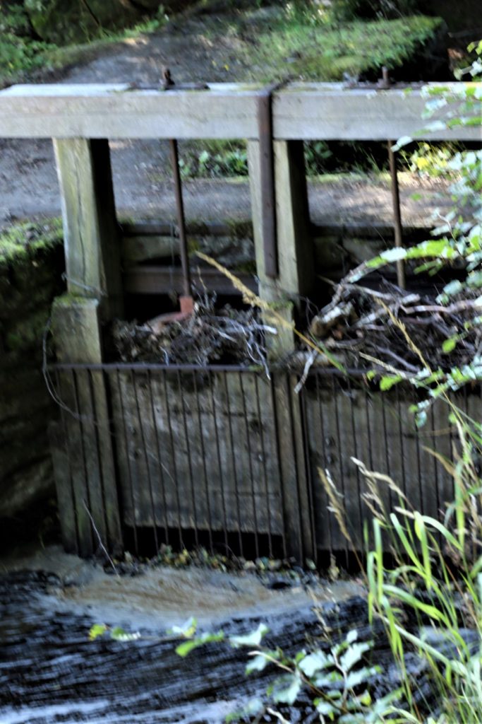
Firstly sorry about the out of focus shot. This is the sluice from the other side & you can see it collects a fair bit of debris, yet another job for the mill staff to keep it as clear as possible for that constant flow.
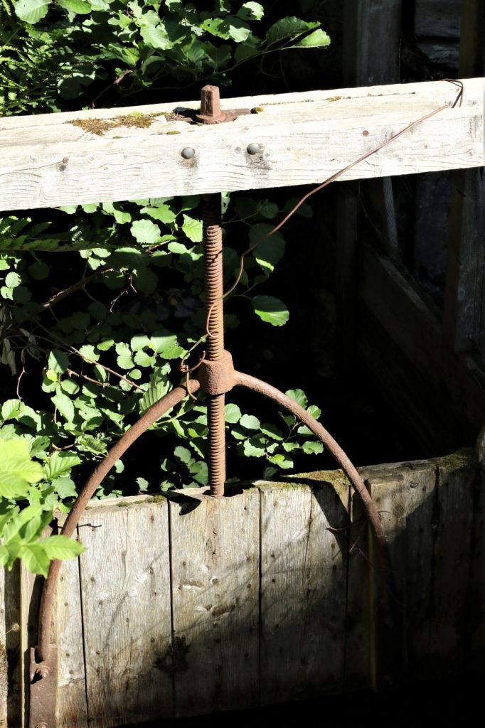
Just further along the lade is this old sluice that allows you to divert more water away from the lade, I just liked the simplicity of the turn screw & how it fitted on the gate, craftsman at work.
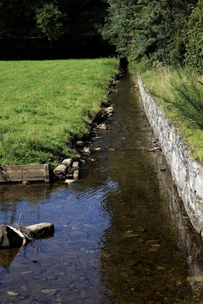
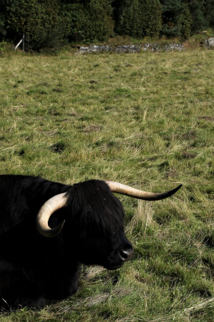
At this point the lade crosses under the road which is the entrance to the caravan site, normally this little bulge is full of ducks as the children from the caravan site love to feed them from off the bridge. The two fields either side of the roadway are where Atholl Estate place two Highland bulls, the only reason that I can see for this is as a tourist attraction, especially as for the last couple of years these bulls have been black highlanders, which are not so common, so more people stop to admire them, Just as I have below.
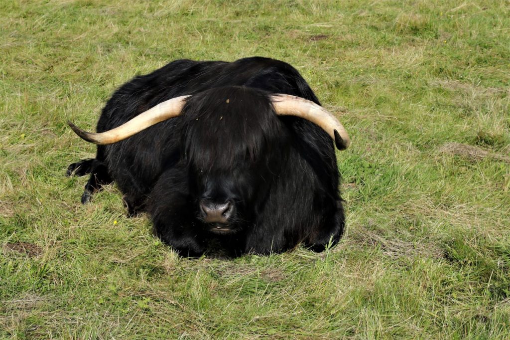
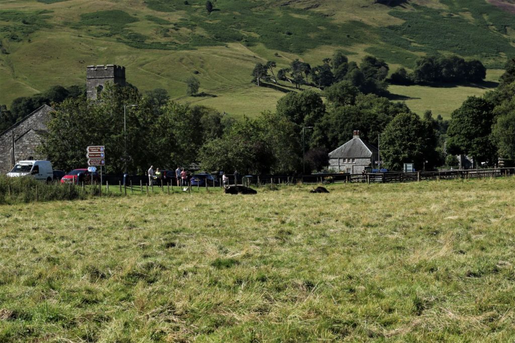
As you can see on this last shot, the lay-by next to them is in constant use by the visitors.
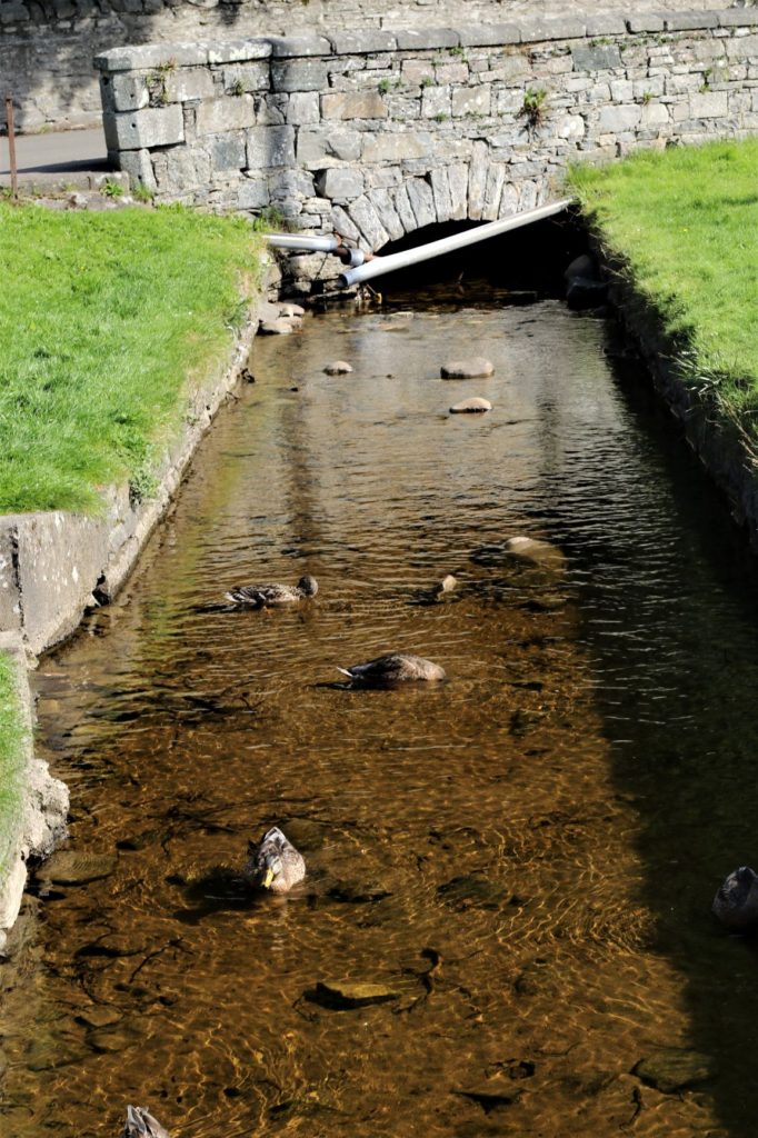
From here the watercourse disappears under the castle drive & the main road & comes out on the village green, with a few ugly pipes attached to the bridge. Also because the ducks get fed here also, in the shadow of the tunnel you can occasionally see some wee Trout.
From here it goes through a few back gardens, as shown below.
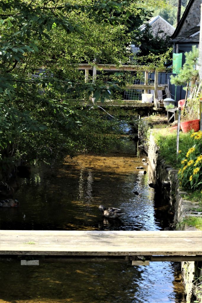
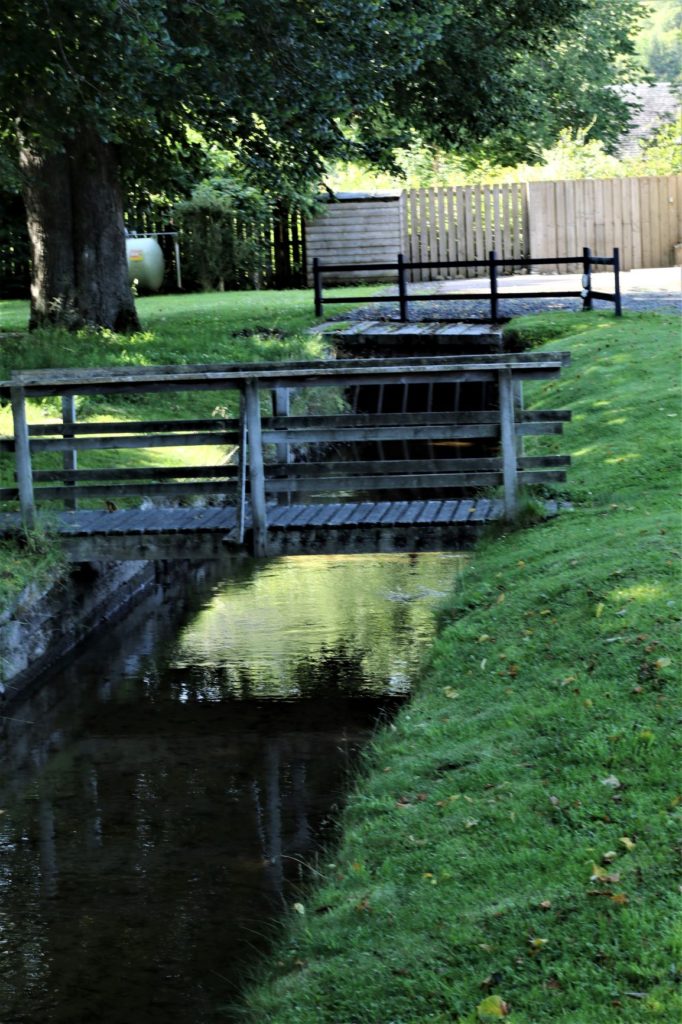
From this point it disappears from view for a 50 yard stretch as it goes under the railway line, which is just beyond the fence. You can also see another grill to stop debris which has to be kept clear.

So once it has come out of the tunnel it is on the homeward section, visible to all from The Mill car park. The gearing to the left of the wheel is the final sluice that stops the water taking its natural course & diverts it onto the mill race feeding the insatiable appetite of the wheel. You can see by the very low depth of the water that it would not feed the wheel on the day I took the shots, as it takes more than a trickle to turn that very heavy, well built wheel .
